
Ha Giang Weather by Month: What It Is Really Like

The forecast on your phone is not wrong. It is just measuring the wrong place.
Most people planning a trip here type "Ha Giang weather" into a search bar, look at a number, and pack accordingly. Then they arrive on the plateau in November, get out of the car at Lung Cu in a light jacket, and discover the number was lying to them.
This is a practical guide to Ha Giang weather by month, written from the road rather than from a weather station. Real temperatures, real rain, and the two things the apps never tell you: how much colder it gets as you climb, and how fast the fog moves. Twelve months a year, this is the weather we drive at Ha Giang by Jeep.
If you are still choosing your dates rather than packing for them, our companion guide on the best time to visit Ha Giang covers flowers, markets and crowds. This one is about the weather itself.
What's in this guide
- The mistake every Ha Giang forecast makes
- Ha Giang weather by month at a glance
- Two seasons, not four
- Ha Giang weather month by month
- Fog: the most underrated factor
- What rain actually does to the roads
- How cold does it really get?
- What to wear, season by season
- What the weather means inside a jeep
- Which jeep tour is right for you?
- Weather mistakes travelers make
- FAQ
The Mistake Every Ha Giang Forecast Makes
Type "Ha Giang" into any weather app and it will show you the forecast for Ha Giang City, which sits in a river valley at roughly 780 metres above sea level. Warm. Sheltered. Perfectly pleasant.
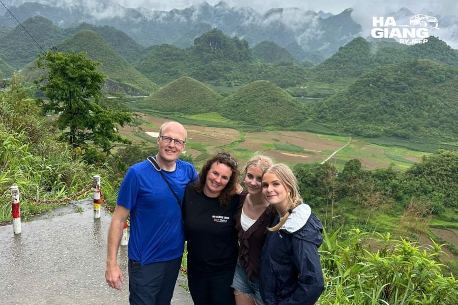
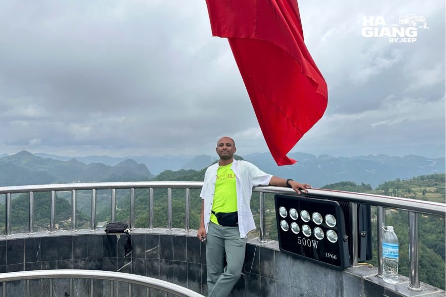
Now look at where you are actually going. The Dong Van Karst Plateau, a UNESCO Global Geopark, runs at roughly 1,000 to 1,600 metres. Lung Cu Flag Tower stands near 1,470 metres. Ma Pi Leng Pass tops out around 1,200 metres, with wind coming straight up the canyon. These are the places in the photographs. None of them are in your forecast.
The rule of thumb we use: air cools by roughly 0.6°C for every 100 metres you climb. The plateau sits somewhere between 200 and 800 metres above the city. Do the arithmetic and Dong Van or Meo Vac will typically feel 2°C to 5°C colder than the number on your screen, before you add wind.
That gap is not a rounding error. In July it turns a sweaty afternoon into a pleasant one. In January it turns a chilly evening into one where you can see your breath.
Three things worth internalising before you read the numbers below:
- Search for Dong Van or Meo Vac, not Ha Giang, when you check a forecast.
- Averages are not days. An average of 24°C can be built from a foggy 16°C morning and a bright 28°C afternoon.
- Altitude beats season. A warm October afternoon at Quan Ba can still be a cold October night in Dong Van.
Ha Giang Weather by Month at a Glance
The figures below are long term averages (1990 to 2020) for Ha Giang City, published by World Weather and Climate. We use them because they come from one consistent dataset. Read them as a baseline for the valley, then apply the altitude adjustment for everywhere you will actually stop.
| Month | Day (city) | Night (city) | On the plateau, expect | Rain |
|---|---|---|---|---|
| January | 18°C / 64°F | 11°C / 52°F | Cold. Near freezing on the coldest nights at altitude | Low |
| February | 20°C / 68°F | 13°C / 55°F | Cold mornings, drizzle, the cloudiest month of the year | Low |
| March | 23°C / 73°F | 16°C / 61°F | Mild and dry. The most comfortable month for most people | Low |
| April | 27°C / 81°F | 19°C / 66°F | Warm days, cool evenings. Showers begin | Rising |
| May | 29°C / 84°F | 22°C / 72°F | Hot in the valleys, humid, storms building | High |
| June | 31°C / 88°F | 23°C / 73°F | Hot and wet. Cloud in the canyons | Very high |
| July | 31°C / 88°F | 23°C / 73°F | The wettest month of the year | Very high |
| August | 31°C / 88°F | 23°C / 73°F | Wet, but the sunniest month by total hours | Very high |
| September | 30°C / 86°F | 22°C / 72°F | Rain easing, air clearing week by week | Moderate |
| October | 27°C / 81°F | 19°C / 66°F | Dry, clear, comfortable. Cool at night | Low |
| November | 24°C / 75°F | 15°C / 59°F | Dry and crisp. Cold arrives late in the month | Low |
| December | 20°C / 68°F | 12°C / 54°F | Cold, clear, foggy mornings. The driest month | Lowest |
The numbers that matter most
- Ha Giang receives around 2,378 mm of rain a year, and it is nowhere near evenly spread.
- July is the wettest month, with roughly 379 mm across about 19 rainy days.
- December is the driest, with around 88 mm across about 7 rainy days.
- The rainy season runs April to September.
- August is the sunniest month by total sunshine hours, which surprises people, because it is also one of the wettest. Both are true. It rains hard, then the sun comes out.
- February is the cloudiest month. Not the wettest. The cloudiest. There is a difference and you will feel it.
Two Seasons, Not Four
Ha Giang does not really do four seasons. It does wet and dry, with a couple of weeks of negotiation on either side.
Dry season, roughly October to April. Low rainfall, stable roads, big visibility. Cold in the middle of it, mild at the ends. This is when the tops come off the jeeps and stay off.
Wet season, roughly May to September. Hot, humid and genuinely wet. The landscape is at its most alive and the roads are at their least predictable. Cloud sits in the canyons in the morning and either burns off or does not.
Everything else you read about spring blossom or autumn light is layered on top of these two. The weather itself only has two moods.
Ha Giang Weather Month by Month
January
The coldest month on paper and in practice. Daytime highs sit around 18°C in the city, which sounds fine until you climb. On the plateau, expect single digits on a grey day and nights that can approach freezing at the highest points. Frost is possible around Lung Cu and the top of the passes.
The upside is dryness. January is one of the driest months, so roads are stable and the air is often glass clear between fog banks. Mornings start under valley fog and frequently open into a hard blue afternoon.
February
The strangest month of the year, weather wise. Temperatures creep up, but February is the cloudiest month by a wide margin, with barely a third of the sunshine hours you get in high summer. It is also one of the driest by rainfall total. Cloudy and dry at the same time.
That combination produces mua phun, the fine grey drizzle that hangs in the air rather than falling. It can settle over the plateau for a couple of days. Photographers either love it or curse it.
March
If you want easy weather, take March. Mild days, dry roads, low rain, and humidity at its lowest point of the year. Nothing is extreme. Afternoons are pleasant in a shirt, evenings still want a jacket.
The air clears properly and the views open up. This is the month our older guests and families tend to find most comfortable, because the weather never asks anything difficult of anyone.
April
Warmth arrives and so does the rain. April sits right on the boundary: mostly dry at the start, noticeably wetter by the end. Daytime highs climb toward 27°C in the valleys, which feels hot when you step out of the car in the sun and cool again the moment you are back at altitude.
Showers tend to be short and in the afternoon rather than all day.
May
May is where the wet season announces itself. Hot in the valleys, humid everywhere, storms building in the afternoons. Rainfall jumps sharply from April.
The upside is that the landscape switches on. Terraces fill with water, waterfalls wake up, everything turns green.
June
Hot and very wet. Daytime highs around 31°C in the city, high humidity, and cloud pouring through the Ma Pi Leng canyon. Rivers run full. The Nho Que turns the colour it is famous for.
This is when weather becomes a planning variable rather than a detail. Boat trips on the Nho Que can pause after heavy weather for safety reasons. Keep a spare day in your itinerary if a specific activity matters to you.
July
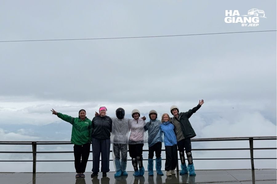
The wettest month of the year, with roughly 379 mm of rain across about 19 rainy days. That does not mean it rains constantly. It means that when it rains, it means it.
Storm systems can settle in for two or three days. Heavy rain occasionally triggers landslides on steep sections, which local crews clear promptly, though it can mean a detour or a reordered route. Anyone telling you otherwise has not driven here in July.
August
Almost identical to July on temperature and rain, with one twist: August is the sunniest month of the year by total sunshine hours. Heavy rain and strong sun in the same month sounds like a contradiction. It is not. The pattern is often a violent downpour followed by a brilliant, steaming afternoon.
Late August, the rains usually begin to ease.
September
The turn. Rain drops off week by week, humidity falls, and the air starts to clear. Temperatures stay warm in the valleys, around 30°C, but the heaviness lifts.
The first half of the month can still throw a storm. The second half is often superb.
October
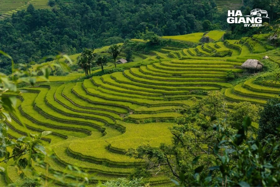
The most reliable weather of the year. Dry, clear, warm in the day at around 27°C, cool at night. Rainfall drops back to low levels and the roads settle.
Visibility is the real prize. October is when you can stand on Ma Pi Leng and see ridge after ridge stacking to the horizon with no haze.
November
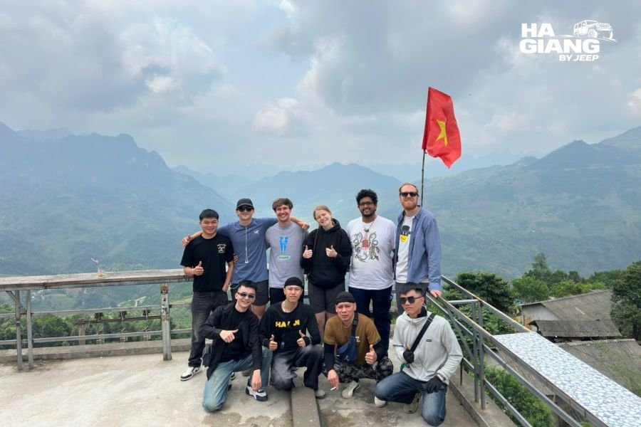
Dry, crisp and clean. Daytime around 24°C in the city, dropping to 15°C at night, and colder on the plateau. By the last week of November the cold has properly arrived and evenings in Dong Van want a coat.
Rainfall is low, cloud is thin, and the light is excellent from mid morning until late afternoon.
December
The driest month of the year: around 88 mm of rain across roughly 7 rainy days. Cold, sharp, and often startlingly clear. Days around 20°C in the city, 12°C at night, and considerably colder up on the plateau.
Fog is the price. Some mornings the plateau simply disappears. Then it lifts and gives you an hour of visibility that makes the whole day worth it. Daylight is at its shortest, so days start and end earlier than you might expect.
Fog: The Most Underrated Factor
Nobody plans for fog. Everyone should.
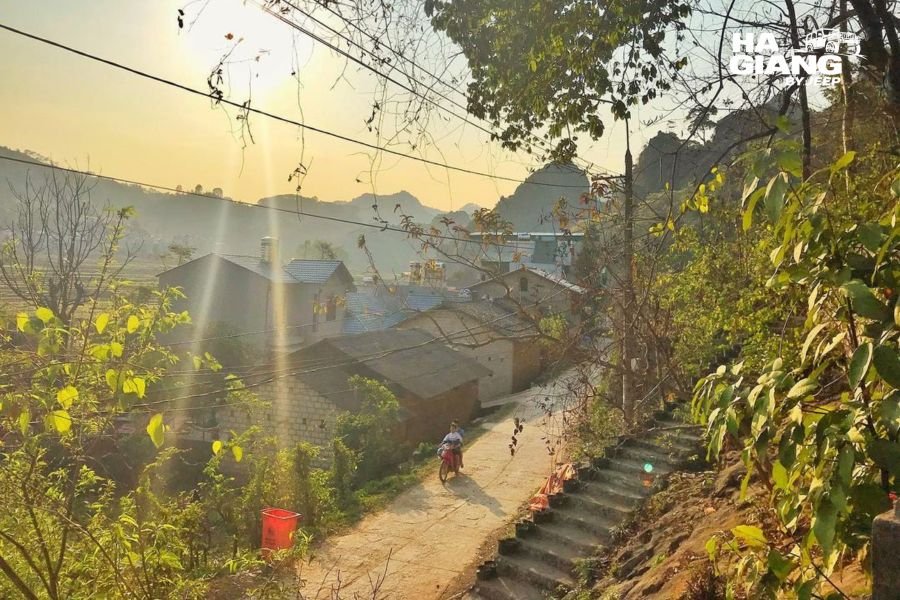
Fog in Ha Giang is not the same as rain and it does not follow the rainfall chart. It is heaviest in the cool months from November through February, and it behaves in a very specific way:
- It pools in the valleys overnight and sits there until the sun climbs high enough to burn it off. That usually happens mid morning. Sometimes not at all.
- It also rolls over the passes at altitude, which is a different phenomenon and can arrive in minutes. One moment you can see the Nho Que. Ten minutes later you cannot see the guardrail.
- A grey 7am is not a verdict on the day. We have started dozens of mornings in a whiteout and eaten lunch under blue sky.
What this means practically: do not schedule your best viewpoint for the earliest slot in winter. A driver who knows the plateau will flip the order of a day around to give the fog time to lift, then take you to Ma Pi Leng when it is worth seeing. That flexibility only exists when the vehicle is yours and the schedule is not shared with anyone else.
What Rain Actually Does to the Roads
Straight talk, because this is where honest information matters more than marketing.
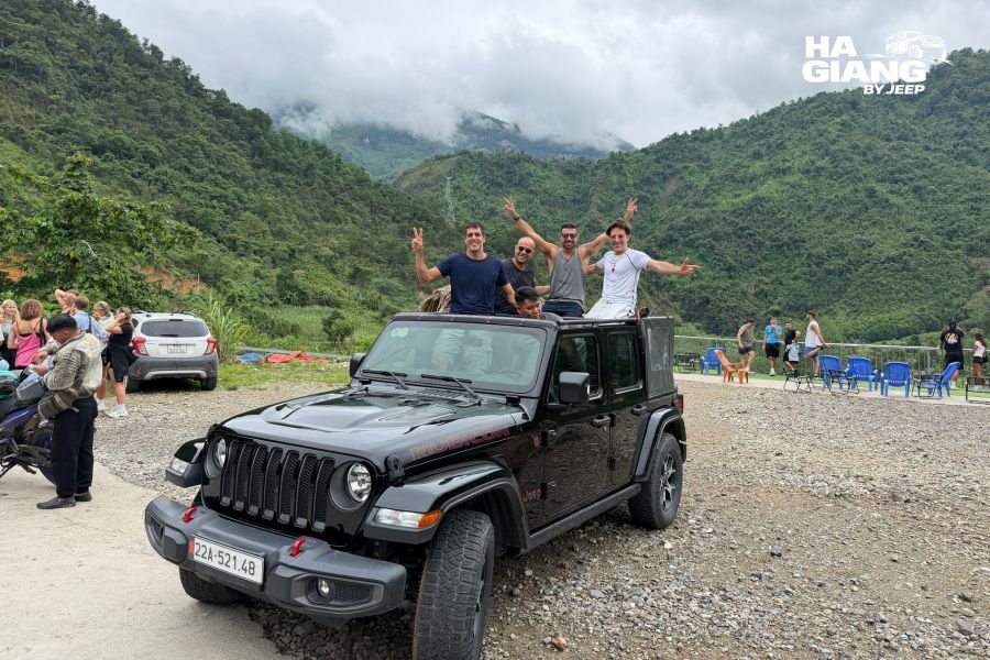
Wet tarmac on a mountain pass is a serious driving surface. The main routes on the Loop are paved and generally in decent condition, but they are steep, they have hairpin bends, and they sit on rock that sheds water fast. In heavy rain, sections become slick.
Landslides happen in the rainy season. Heavy or sustained rain, especially in July and August, can bring rock and mud down onto sections of road. Local crews clear these quickly and it is a routine part of life up here, but it can mean a detour or a change to the order of your stops.
Some activities pause in bad weather. River boat trips on the Nho Que are the obvious one. Safety calls are made locally and they are the right calls.
Rules and conditions change. Road works, temporary closures and permit requirements are all subject to change. Check local updates close to your travel dates rather than relying on a blog post written a year ago, including this one.
What none of that means is that you should avoid the wet season. Some of our best trips run in June and September. It means you build in a spare day, keep the itinerary loose, and let someone who drives these roads every week make the call on the day.
How Cold Does It Really Get?
Colder than people expect, and the thermometer is only part of the reason.
Three things stack on top of each other in winter:
- Altitude. Take 2°C to 5°C off the city forecast for Dong Van and Meo Vac.
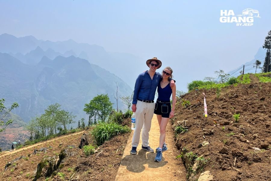
- Wind. Ma Pi Leng and Lung Cu sit exposed. Wind coming up a 700 metre canyon does not care what your app says.
- Damp. Fog and drizzle make cold feel colder. A damp 10°C beats a dry 5°C for misery every time.
Put those together and a January evening on the plateau can feel like a European winter day. Locals wear padded coats. So should you.
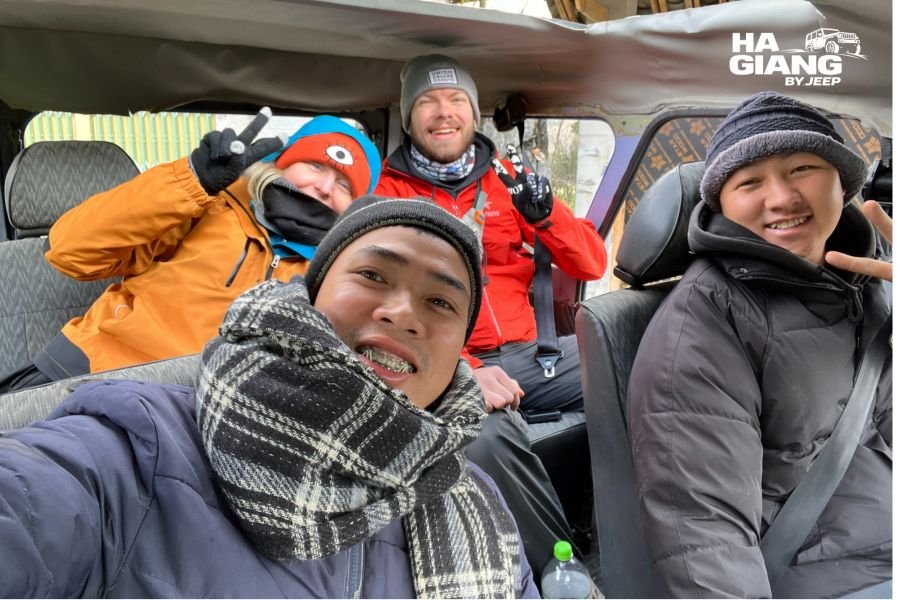
This is where the vehicle actually matters. In an open air jeep with the soft top on and the heater running, you spend the cold parts of the day warm, step out for the viewpoint, take the photo, and get back into a warm car. Guests in their 60s and 70s do the winter Loop with us regularly for exactly this reason. Nobody is exposed to the weather for hours at a stretch.
Not sure your dates work?
Send us the week you are considering and we will tell you what the plateau usually does then, honestly, including the parts that are not flattering. No scripted sales reply, just an answer from people who drive it every week.
Private 4x4 every time. Local drivers who speak English. Soft top and heater when the weather asks for it.
Ask us on WhatsApp See the 3 days jeep tour
What to Wear, Season by Season
Nobody has ever regretted one layer too many. Plenty of people have bought an emergency jacket in Dong Van at 8pm.
Dry and cold, December to February
- Insulated winter jacket and a thermal base layer
- Gloves, warm hat, warm socks
- Light waterproof shell for drizzle
- Lip balm and moisturiser. The wind is dry
Mild and dry, March to April
- Tee shirt, fleece or sweater, light jacket
- Compact rain jacket for late April showers
- Sunscreen and sunglasses
- Shoes with grip for viewpoints and village paths
Hot and wet, May to September
- Proper rain jacket, not a plastic poncho
- Quick drying clothes and a second pair of shoes
- Dry bag or waterproof sleeves for camera, phone and passport
- Mosquito repellent for evenings
- One warm layer anyway. The plateau still surprises people
Dry and clear, October to November
- Layers, plus a warm jacket for late November evenings
- Windproof outer layer for the passes
- Sunglasses. The light is bright and clean
Every season: passport, travel insurance, personal medication, and cash, because roadside stalls and village markets do not take cards.
What the Weather Means Inside a Jeep
Read two accounts of the same route from different seasons and you will wonder whether it is the same road. A Ha Giang jeep tour review written in July and one written in November describe completely different days. So when travelers ask what to expect on a Ha Giang jeep tour, the honest answer starts with the forecast.
Dry season, October to April. The tops come off. You ride open air with 360 degree views, wind, and the sound of the valley instead of an engine. Standing room at the viewpoints. The driver stops wherever you point.
Cold months, December to February. Soft top on, heater running. You stay warm between stops and step out only for the photograph. Blankets in the back. Stops chosen around places with a fire and something hot.
Wet months, May to September. The roof goes on and off through the day. You sit out a shower under cover, then drop the top when the sky opens. Your bags stay dry, your camera stays dry, and the slick pass is the driver's problem rather than yours.
A day on a Ha Giang jeep tour bends around the weather instead of fighting it. That is only possible because the jeep is private, so the group is yours alone and the running order can change at 9am if the fog has other ideas. Every driver is a local who was born in these mountains and speaks English.
There is a smaller advantage people only notice once they are here. On a wet afternoon you can stop at any roadside stall that looks warm, order banh cuon trung with the hot broth, and take an hour over it. In a market town you can sit down to com lam and a glass of ruou ngo without a single thought about who is driving afterwards.
Which Jeep Tour Is Right for You?
| Option | Best for | Weather note |
|---|---|---|
| Ha Giang Loop 3 days | Tight schedules that still want the full Loop: Ma Pi Leng, Dong Van, Meo Vac | Fewer days means less room to reschedule around a bad weather window |
| Ha Giang Loop 4 days | The one we recommend most. Same Loop, slower, with Du Gia and more village time | The extra day is your insurance policy in the rainy season |
| Ha Giang and Cao Bang 5 days | Adding Ban Gioc Waterfall and the Non Nuoc Cao Bang geopark | September to November gives strong flow and clear water at the falls |
| Ha Giang and Cao Bang 6 days | The deep version: Pac Bo, God's Eye Mountain, Ngoc Con Valley, 15 step pass | The most flexibility to move a day around bad weather |
| Jeep Wrangler Rubicon rental | Confident drivers who want the mountains on their own terms | You make the weather calls yourself. You need the correct licence and paperwork to drive legally in Vietnam, and rules change, so check current requirements first |
Tell us your dates and we will tell you what the weather usually does then, and which route makes the most of it. Book your jeep tour, message us on WhatsApp, or reach the team through the contact page. We answer 24/7 from an actual office in Ha Giang City, and we handle the border zone permits.
Weather Mistakes Travelers Make
- Reading the city forecast and packing for it. The single most common error. Search Dong Van or Meo Vac.
- Treating an average as a prediction. An average of 24°C is built from a cold morning and a warm afternoon, not from a day that sits at 24°C.
- Assuming rainy season means constant rain. It does not. It means intense rain in bursts, then sun. August proves it: one of the wettest months and the sunniest month at the same time.
- Booking a rigid itinerary in July or August. Leave a spare day. The weather will use it.
- Underestimating February. The cloudiest month of the year catches people who looked only at the rainfall column.
- Cancelling because the forecast looks grey. Forecasts on the plateau go stale within hours. Some of the best days start under fog.
FAQ
What is the best month for weather in Ha Giang?
October and November. Low rain, stable roads, clear air and comfortable temperatures. March is the strongest option if you want mild weather with fewer people.
What is the wettest month in Ha Giang?
July, with roughly 379 mm of rain across about 19 rainy days on average. June and August are close behind.
What is the driest month in Ha Giang?
December, with around 88 mm across roughly 7 rainy days. It is also one of the coldest, so dry does not mean warm.
How cold does Ha Giang get in winter?
Ha Giang City averages around 18°C in the day and 11°C at night in January. The plateau runs 2°C to 5°C colder, and the highest ground can approach freezing at night, with occasional frost.
Does it snow in Ha Giang?
Snow is rare and not something to plan around. Frost and ice on the highest ground in deep winter are more realistic. Conditions vary year to year, so check local updates if you are traveling in January.
Can you do the Ha Giang Loop in the rainy season?
Yes, and we run all year. Roads can be affected by heavy rain and routes sometimes need adjusting, which is exactly why a local driver matters. Under a soft top, rain is an inconvenience rather than a problem.
How bad is the fog in Ha Giang?
It can be total, especially from November to February, and it arrives fast. It usually pools in the valleys overnight and lifts through the morning. A good driver reorders the day around it rather than driving you to a viewpoint you cannot see.
When is the rainy season in Ha Giang?
Roughly April to September, with the heaviest rain in June, July and August. The dry season runs roughly October to April.
Is Ha Giang humid?
Yes, in the wet months. Humidity peaks in summer and is at its lowest around March, which is part of why March feels so pleasant.
What should I pack for Ha Giang?
Layers, always. A warm jacket for anything between November and March, a real rain jacket for anything between April and September, grippy shoes year round, and sun protection in every season.
Will bad weather ruin my trip?
Rarely. It changes it. The route gets reordered, the roof goes up, and you end up in a market or a family kitchen you would not otherwise have seen. Rigid schedules suffer here. Flexible ones do not.
Do I need a permit for the border areas?
Some areas near the border require permits and we arrange these for our guests as part of the tour. Requirements can change, so check the latest updates if you are traveling independently.
Pick Your Week, We Will Tell You the Truth About It
Ha Giang weather by month comes down to two useful facts. The plateau is colder than the forecast says, and the rain arrives in bursts rather than in blankets. Everything else is packing and flexibility.
Whichever month you choose, the vehicle does not change. Private 4x4 every time, never shared with strangers. A local driver who speaks English and was born on these passes. A soft top and a heater when the weather asks for them, open air when it does not. Two UNESCO Global Geoparks if you take the long route, and border permits handled before you arrive.
Still weighing up months rather than packing for one? Start with our guide to the best time to visit Ha Giang, then come back here to pack.
Ready when you are
WhatsApp: +84 862 379 288 or +84 938 988 593
Email: booking@hagiangbyjeep.com
Office: Ha Giang City